
Thursday, 15 October 2026
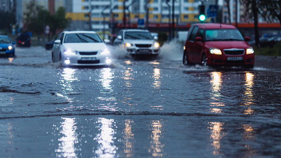
A flooded road can quickly disrupt the wider transport network. It can close critical routes, interrupt public transport and freight, delay emergency services and isolate communities. Disruptions to power and communications infrastructure can also affect traffic signals, traveller information and the systems used to coordinate the response.
Three new Austroads publications give transport agencies a practical and consistent way to understand these wider consequences, identify the most serious risks and plan how to respond before, during and the flooding or wet weather event happens.
The publications combine research, case studies, and step-by-step guidance. Together, they help transport agencies understand how flooding affects the broader transport network, learn from approaches used in Australia, New Zealand and internationally, and apply those lessons to their own local networks and conditions.
Amy Naulls, Austroads Transport Network Operations Program Manager, said the work encourages agencies to look beyond the location of the immediate disruption.
“When a road closes, the consequences can be felt well beyond that location. Communities may lose access to essential services, freight and public transport can be disrupted, and emergency services may be delayed,” Amy Naulls said.
“The important question is not just where flooding might occur. It is what happens across the network when it does, and which risks need attention first”.
At the centre of the new guidance is a seven-step risk management process aligned with AS ISO 31000:2018. It takes practitioners through defining the scope of an assessment, identifying vulnerabilities, analysing and prioritising risks, selecting mitigations, developing implementation plans and monitoring their effectiveness.
Worked examples show how the process can be applied to:
- riverine flooding affecting a regional freight corridor
- peak-hour flash flooding in a central business district
- the overtopping of a rural causeway
- a live flash-flood event where no site-specific plan was in place.
The Guidelines also include a Flooding and Wet Weather Impact Pathways Tool, impact and likelihood scoring matrices, and reference tables covering operational, preparedness and strategic mitigation actions. Agencies can tailor these resources to their responsibilities, available resources and local conditions.
“Flooding and wet weather events can affect almost any part of the network. This guidance will help agencies be proactive in planning for these events, and support practitioners to put in place practical actions suited to the risk and the context.” Amy Naulls said.
The three publications have distinct but connected purposes:
Principles for Transport Network Management in Flooding and Wet Weather Events establishes the evidence base for the project. Drawing on Australian, New Zealand and international research it sets out principles for safer, more proactive, coordinated and data-informed network management during these events.
Case Studies for Transport Network Management in Flooding and Wet Weather Events shares examples and lessons from Australia, New Zealand and overseas.
Guidelines for Transport Network Management in Flooding and Wet Weather Events provides the seven-step process, worked examples and practical tools.
“Practitioners can use the Principles to understand what effective flood and wet weather management looks like, the Case Studies to learn from experience, and the Guidelines to assess their own risks and plan practical responses.”
- Download AP-R772-26 Principles for Transport Network Management in Flooding and Wet Weather Events
- Download AP-R773-26 Case Studies for Transport Network Management in Flooding and Wet Weather Events
- Download AP-G117-26 Guidelines for Transport Network Management in Flooding and Wet Weather Events
Join the webinar
Thursday, 26 November 2026, 1:00 – 2:00pm AEDT | Presented by David Yee and Dan White.
No charge but registration is essential. Can't make the live session? Register and we'll send you a link to the recording.